by Charalampos Georgiadis, Aristotle University of Thessaloniki, Greece.
Field training is a cornerstone of surveying engineering education. I can speak from experience as a professor in the Polytechnic School at Aristotle University of Thessaloniki (AUTh), where I’ve been teaching for over 20 years. Field visits indeed provide a crucial link between teaching and learning. Because problem-solving abilities are crucial in engineering education, students must be exposed to real-world conditions and inspired to think creatively through active, hands-on experiences on various local sites. Not surprisingly, undergraduate surveying engineering students value field experience, as they are exposed to a variety of activities that improve their learning experience, confidence and cognitive skills.
But, real-world field training is also logistically complex, expensive, may induce safety risks for tutors and students, and is often limited by equipment and lecturers’ availability, site proximity or accessibility, or scheduling. Challenges for training surveyors in the field also relate to the use of training equipment, where, due to environmental conditions, technological limitations, and human errors, might lead to incorrect learning outcomes. The COVID-19 pandemic only magnified these challenges. For a time, it became nearly impossible to take our students out into the field. Even now, organising consistent, high-quality field training for large and diverse student groups remains a real challenge.
That’s why I was enthusiastic to be part of the SURE-VFT project, leading AUTh’s research team, which aims to bring the core of those field experiences into the virtual world. Our goal? To help students build real-world skills in photogrammetry and remote sensing—without ever leaving their home or classroom.
SURE-VFT has indirectly received funding from the European Union’s Horizon Europe research and innovation action programme, via the XR4ED – Open Call, issued and executed under the XR4ED project, which supports the development of extended reality (XR) applications for education and training.
Led by KIKLO – Geospatial Information Technologies P.C., with key participation from the AUTH- School of Rural and Surveying Engineering and EuroXR, we designed and developed three immersive Virtual Field Trips (VFTs), that could complement training activities for undergraduate surveying students:
- One on close-range photogrammetry,
- One on spectroradiometer usage, and
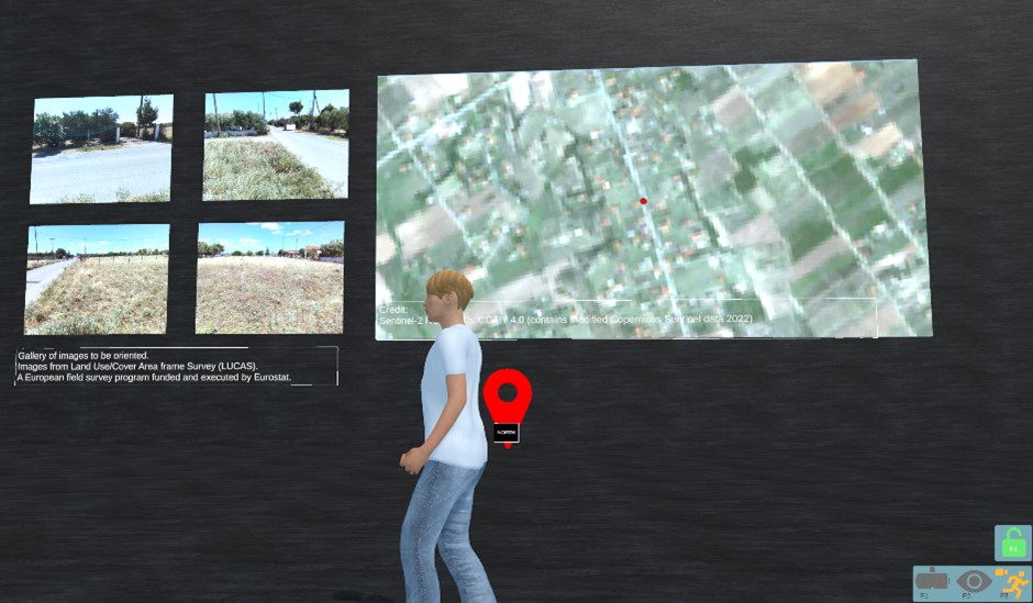
- One on land use/land cover (LULC) mapping using satellite imagery.